Trail Tracker — GPS Blood Trail App
Mark blood sign, record your walk, and find your way back to the truck — built for wounded deer recovery in the timber.
Install to your home screen for full-screen use with gloves. Open once on Wi‑Fi to cache maps for offline.
🩸 One-tap pins
First blood, heavy, last, bedded, and arrow — large buttons you can hit with gloves on.
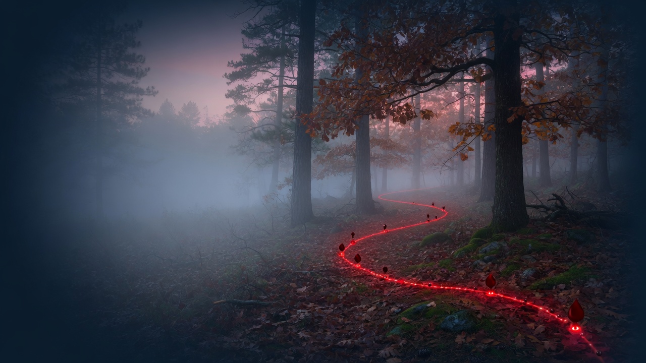
📍 Live GPS path
See every step on the map. Distance walked and a line back to your start point.
🧭 Back to truck
Bearing and straight-line distance to your start — so you don’t get turned around.
📤 GPX export
Save hunts and export to onX, Gaia, Google Earth, or share with your tracking party.
🛰 Satellite maps
Aerial imagery like HuntingPoints — plus hybrid, topo, and street views. Tiles cache for offline use.
🌙 Dark & offline
Night-friendly UI. Works without cell signal after your first load.
📝 Pin notes
Tap any pin to add terrain, direction, or blood color — while it’s still fresh.
📷 Blood Detector
Point your camera at the ground — live HSV detection highlights blood sign and can auto-drop GPS pins (full app).
Pricing
Core GPS tracking is free. Pay once for property lines & public land — easier than wrestling with onX exports.
Full app
$9.99
one-time · on your phone forever
- Download parcels at your GPS — 28 states with open APIs (AK, AR, CA, CO, CT, FL, IA, ID, IN, MA, MD, MN, MT, NC, NE, NH, NJ, NV, NY, OH, PA, TX, UT, VA, VT, WA, WI, WV)
- Draw property lines on the map — no file needed
- Public land overlay (BLM)
- Import from onX (optional) + unlimited saves
Cloud backup
$2.99
per month · optional
- Sync tracks across devices
- Requires full app + login
- Cancel anytime
Property lines and parcel data are approximate — see our map & property disclaimer. By using Trail Tracker you agree to our Terms and Privacy Policy.
Frequently asked questions
- Does Trail Tracker work without cell service?
- Yes. Open the app once on Wi‑Fi or cell signal to cache maps. Your GPS path, blood pins, and notes are stored on your phone and work offline in the timber.
- What is a blood trail tracker app?
- A blood trail tracker records your GPS path while you follow wounded deer sign. Trail Tracker lets you drop pins for first blood, heavy blood, last blood, and more — then shows distance and bearing back to your truck.
- Can I export my trail to onX or Gaia GPS?
- Yes. Save your track and export as GPX. GPX files open in onX Hunt, Gaia GPS, Google Earth, and other mapping apps.
- Is Trail Tracker free?
- Core GPS tracking is free — blood pins, live path, offline use, and GPX export with up to 5 saved tracks. A one-time purchase unlocks property lines, public land layers, Blood Detector, and unlimited saves.
- How do I install it on iPhone?
- Open this site in Safari → Share → Add to Home Screen. Trail Tracker opens full-screen like a native hunting app.
Quick start
- Install — iPhone: Safari → Share → Add to Home Screen
- Allow location when the tracker opens
- Walk the trail — pins drop at your GPS spot
- Save & export when you’re done